I have been to Koh Samed twice before with my wife. Both times it was very relaxing and a bit of partying at the beach but that was it. Both times we stayed near Sai Kaew beach and didn't even see any other part of the island.
So this time when we decided to go a third time but with some friends, I decided I had to explore more, especially the south end point of the island.
I like using Google maps to plan out my travel itineraries because it lets me pinpoint exactly what I want to see, do and where they are on the map. So I did the same for my Koh Samet trip.
Journey to Samed
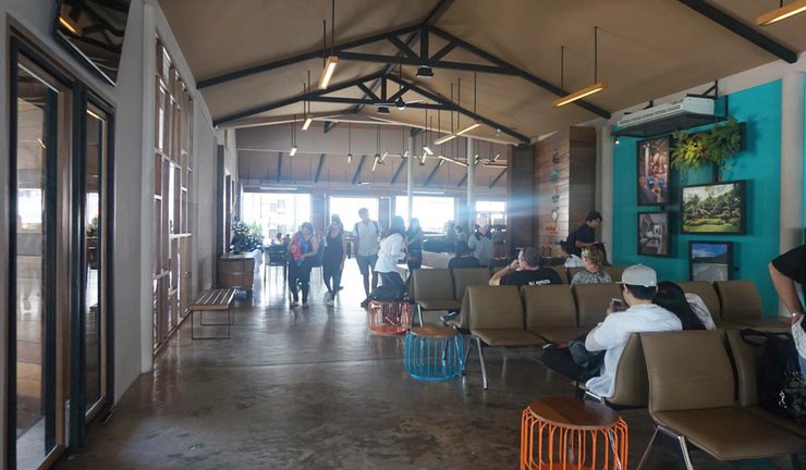
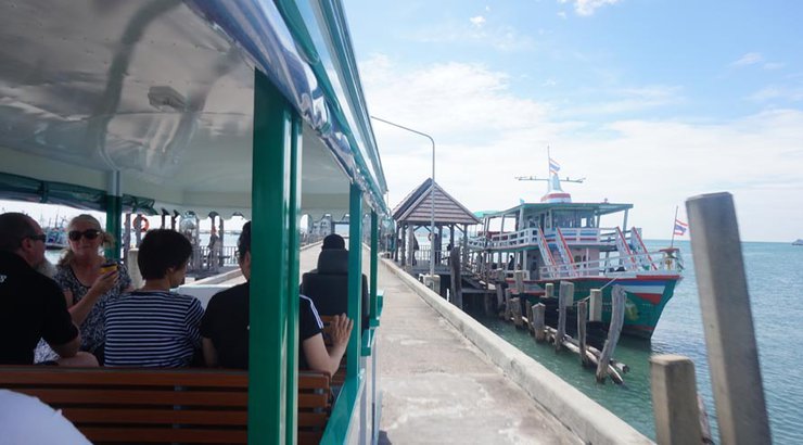
Friday, I decided to take leave from work so that I could be back on Saturday to rest. We left early morning from Bangkok and within 3 hours, we reached Seree Pier. Normally ferries go from Ban phe pier but since we booked our stay at Baan Supparod (part of the Samed hotel group chain), we received complimentary, private ferry service from Seree pier. The two piers are very close to each other (less than 1 km).

The whole process was very smooth. We arrived, parked our car and checked in at the pier. They took care of our bags - all we had to do was get on and off the ferry. The staff took care of everything - it was awesome. Very professional, very on point, which was very impressive. At the pier, you can also buy things like beach clothing, food and drinks.


Baan Supparod
After about 30 minute journey on ferry with the wind and fresh air, we arrive at Samed island. We get off and get on the songtaew (local transport), which takes us to our hotel. Our bags are delivered straight to us at our rooms.
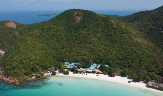
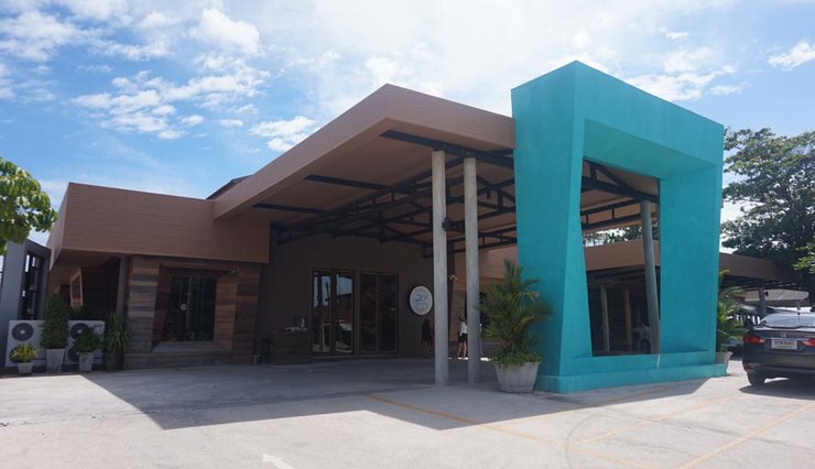
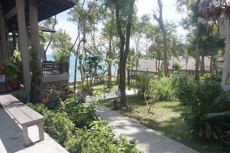
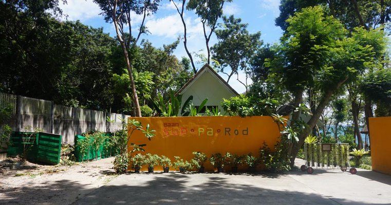
Baan Supparod is where we stayed for 1 night and it is a beautiful little boutique resort next to their sister, bigger hotel - Sai Kaew beach resort.

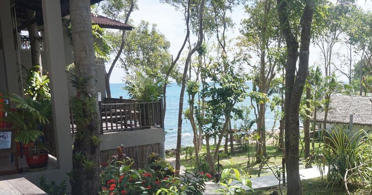

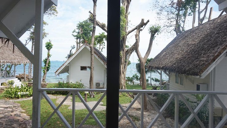
We get the seaside cottages which really has a beautiful view. The cottages are comfortable, clean and very cute but slightly pricey for the facilities and size. We paid about 3800 Baht for one cottage.
Time to explore
After quickly having lunch at the beach, I went looking for a shop where I could rent a bicycle. Normally the best way is to rent a motorbike but since I don't know how to ride one and afraid to get in an accident trying to learn, I think bicycle would be easier.
OH I WAS WRONG.
It wasn't easy...but read on to find out why.
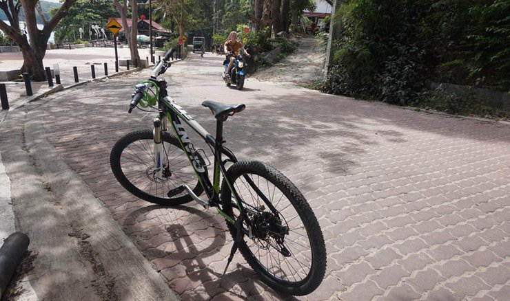
I find a shop at the end of Sai Kaew beach where I rented a mountain bike for 200 Baht/day. Excitedly, I quickly get on and start cycling. My plan is to see as many beaches and viewpoints as I possibly can before sunset.
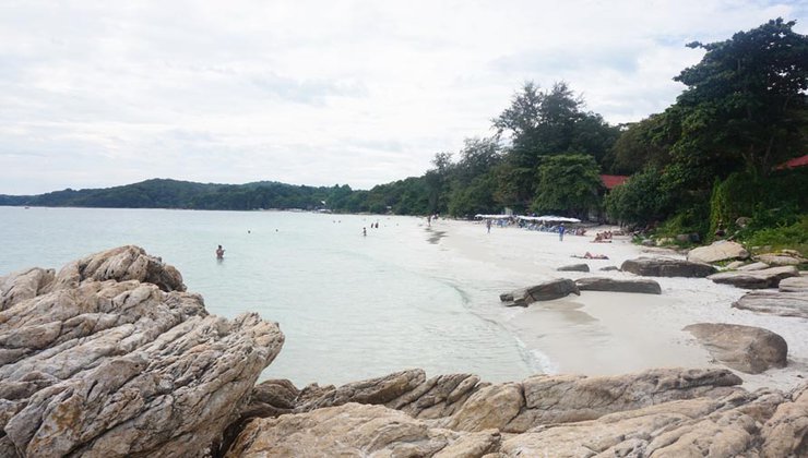
Beach 1 - Sai Kaew
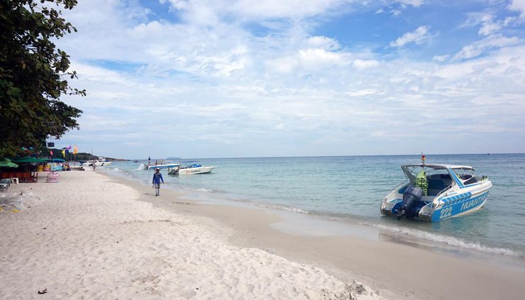
This is the longest beach where most restaurants, bars and tourists are. It is a nice beach overall. If you like crowds and a happening place, this is the place to be.
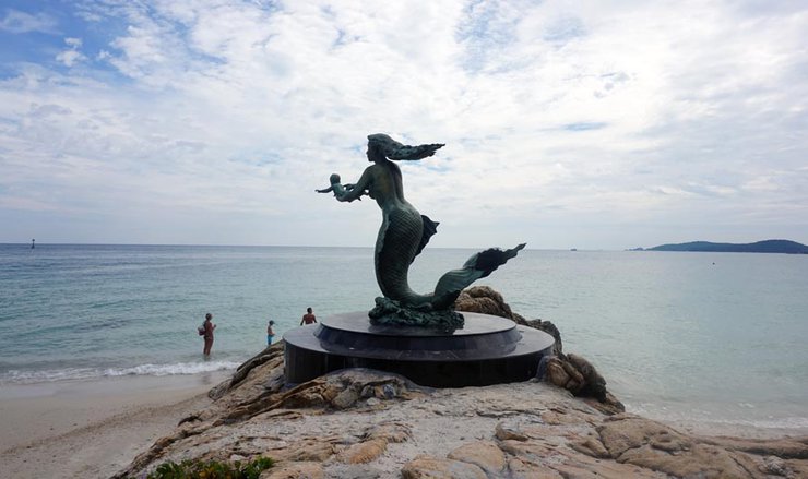
At the end of Sai Kaew beach is an iconic mermaid statue - good for taking pictures at.
I then bike over a steep slope and move on to the next part of the island. At first the biking was fun, I leisurely ride up and down slopes as I admire the beauty of the beach and local life.
Beach 2 - Ao Phai (B)
Around the corner and over the rocks from Sai Khaew is Ao Phai. A little more relaxed ambiance here.
Soon, I notice it gets harder to peddle. I have to use a lot of effort as the road starts getting steeper but nothing would prepare for what was ahead of me.
I push on following my Google Map GPS till I come to a Y junction. Turn left or go straight/right. I decide to turn left because my main goal destination is the south end point of Samed island.
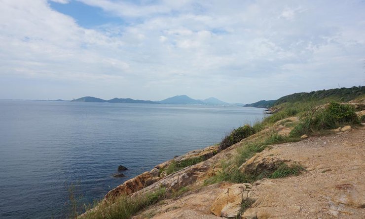
Sunset viewpoint (C)
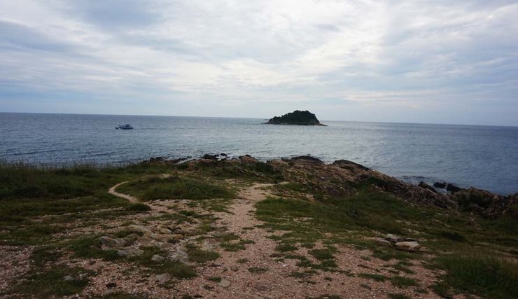
I ride down a long road and I know I'm missing some beaches on the way but they seem really off the trail. Plus I have a long journey ahead with little time. I keep riding till I see a scenic viewpoint on my right. I take a break here to take some pictures and then decide climb down the rocks to the water below.
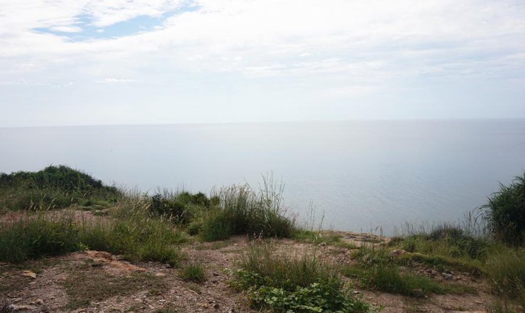
I love climbing rocks! Such an adventure!! Especially when you have a view like this.
Moving on, I continue on my journey. At times the road got so steep I had to get off my bike and push it up the hill. I was literally hiking as motorcycles and even pro cyclists wizzed passed me. They did however say hello, smile and offer words of encouragement to me. Whenever the road straightened or there was a downward slope, I would breathe a sigh of relief. Going down was fun but you have to be careful because you come REALLY, REALLY FAST.
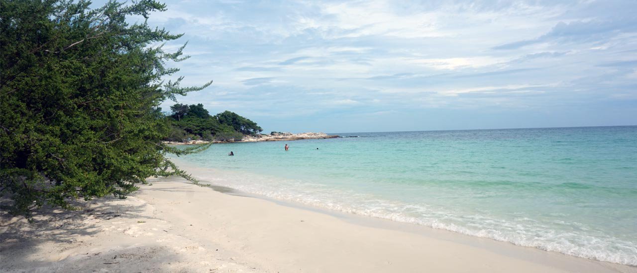
Beach 3 - Ao Wai (D)
For this beach I had to walk through a hotel resort called Samet Ville, a very quaint and secluded place on the island. They had their own private beach with very few people swimming and resting on bleachers. There were some people at the resort on their cottage patios drinking or eating.
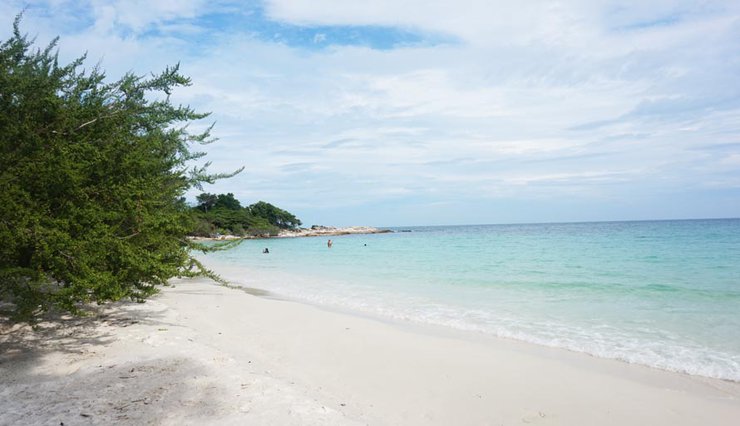
The water and sand here was VERY clearn, probably the cleanest on the entire island. In the distance, on the right facing the sea I see some rocks. I really wanted to explore this area so I could fulfill my wanderlust.
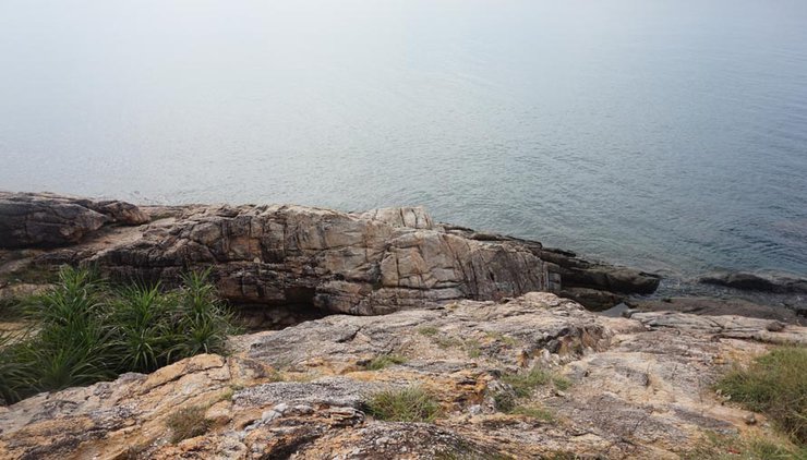
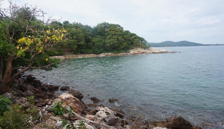
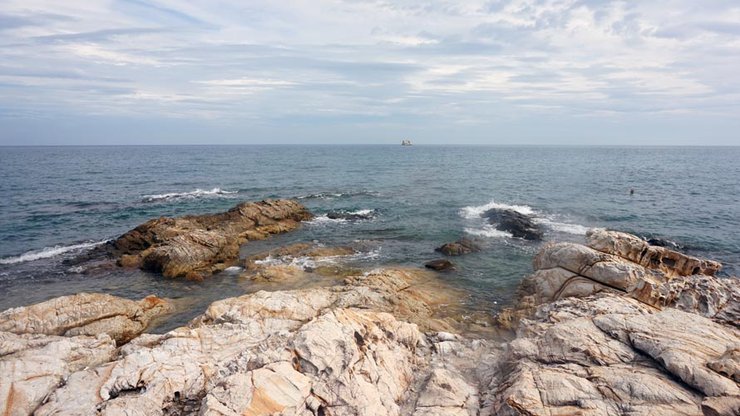
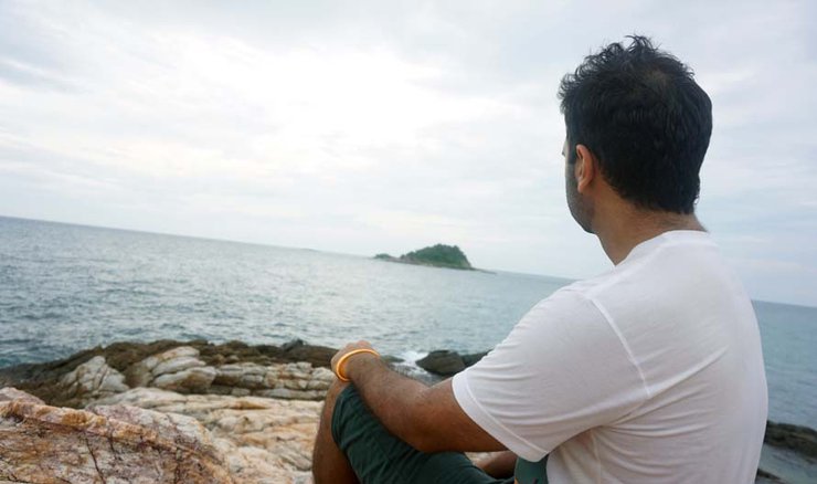
I walk along the beach till I reach the rocks and notice that this is part of island that kind of juts out into the sea. There's a point where you see the ocean on two sides. Very interesting!
On one side (north)
The other side (south), looking back at Ao Wai, where I had just walked from.
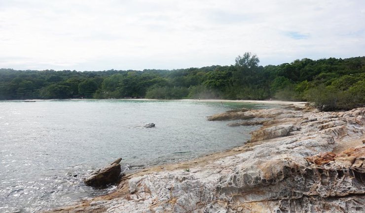
And this was the view while standing on the rocks, looking straight on. Very rocky indeed, not great for swimming although I did notice some snorkelers. Just have to be careful not to bang against those rocks.
After spending a good 20 minutes taking pictures, soaking in the views and breathing the fresh ocean-filled air, I decided to continue on my exploring journey.
I went back through the resort, thirsty and exhausted but I had to continue on. There was no going back when I was almost there! I had to reach the south end point of Samet.
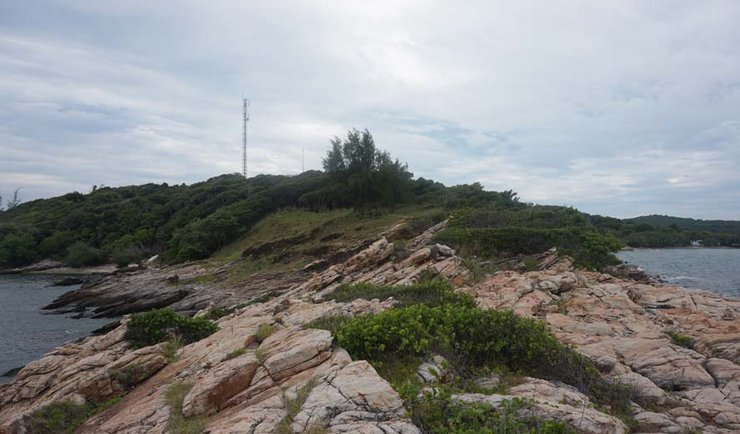
More steep, perhaps even steeper roads came ahead of me. Again I had to hike by foot, pushing the bike up with me because I just could not peddle up. Panting and wheezing, I finally made it to the end point. I needed water badly but the shops were closed and what seemed like a local's home was deserted.
Where is everyone?
A few bikes were parked so I went through the parking and into the thickets towards the viewpoint. A fork came where signs read "to east view" and "to west view". I picked west first as the east one looked a bit sketchy.
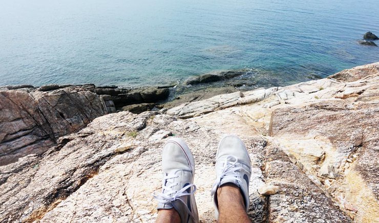
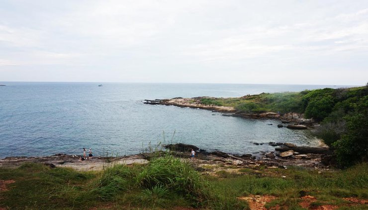
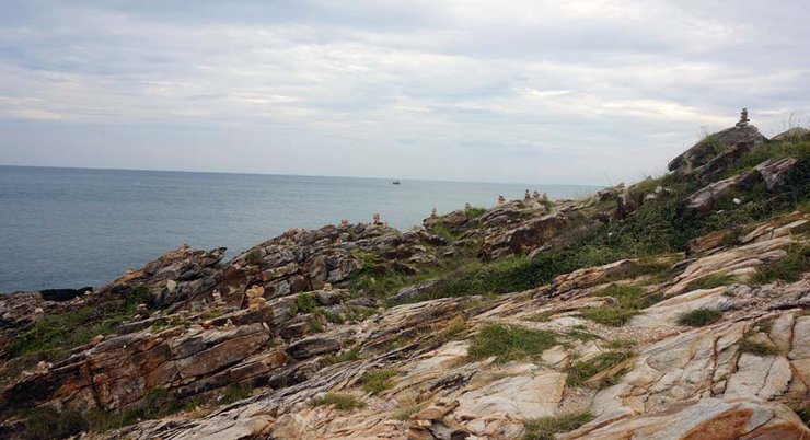
I climb down a path only to be amazed at the view before me. It looked like the ends of the earth or some scene from a Lord of The Rings movie. It was just an epic setting I didn't want to leave from.
There on the right I could see the east view point. I'll definitely be going there next.
I saw a bunch of people here but not many. We would cross paths and nod at each other showing a sign of "yes we made it here". I then continued to add some more adventure to my trip by jumping on and off the rocks.
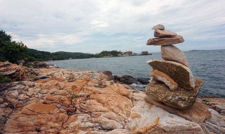
There were also these stacked rocks everywhere, which really raised my curiosity. I had heard about them before - they are called cairns where travelers would use them to mark their trail or a sign of burial. To me they just looked mystical. How could they stack the rocks like that and they don't fall over? Pretty awesome, don't you think?
I spent quite a bit of time on this end till I decided to the east side. Sun was coming down too and I had to be back before it got dark. I didn't want to be biking in the dark, that's for sure.
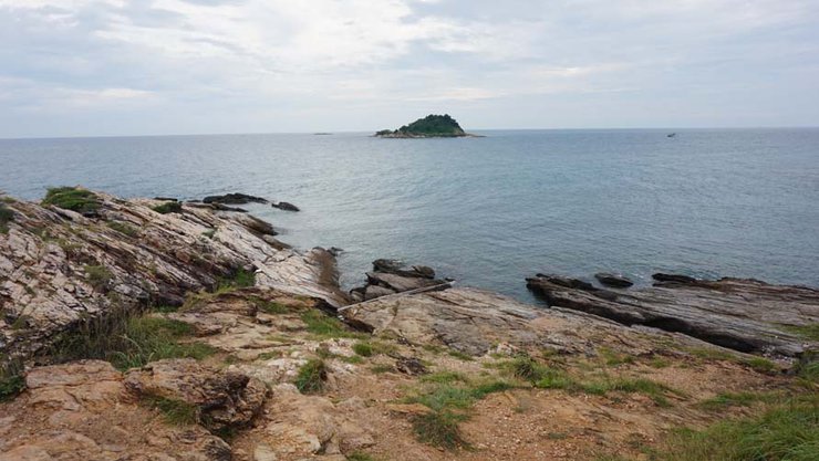
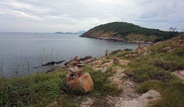
Here was the view from the east viewpoint.
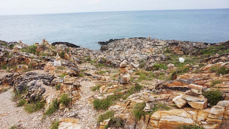
Many more of those Cairns here. What a beautiful, majestic sight it was.
It was finally time to go back and meet with my wife and friends. It was going to be a long journey again but well worth the trip but here is what I learned for next time:
1. Take water bottles!
2. Get fit and practice mountain biking more
3. Understand the gears well and use them properly, in time
Tip: don't break too hard cuz you might skid. Defnitely don't use the front breaks, otherwise you would flip over.
Shayan Adventures
Monday, November 7, 2016 4:06 PM